
VECON is a powerful 2D/3D VSP and surface seismic survey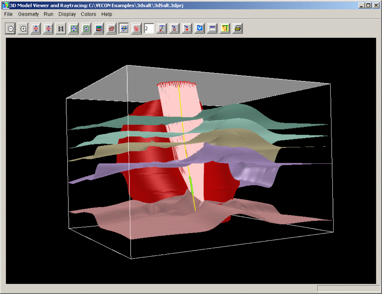 design and modeling system that makes completion of a variety of difficult jobs extremely efficient. Designed for any level of geoscientists, VECON features a fast, accurate, intuitive and easy-to-use toolkit for working on site, remotely through Internet, or in a workstation environment.
VECON imports models in a variety of other program formats and can handle arbitrary coordinates systems. Imported models geometries can be rotated to local N/S coordinates for efficient raytracing. Large reservoir models can be cropped around the area of the well or specific area of interest to reduce model size and improve performance.
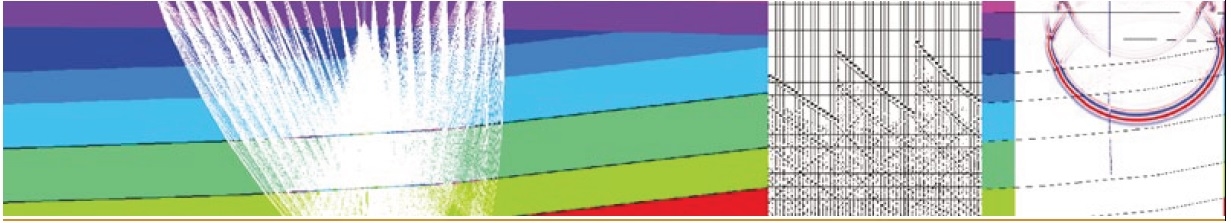
Seismic section or any structure image can be displayed as a base reference for building velocity models. Structural building features include layers, faults, and objects, which are all interactive for editing. Using VECON, you can build complex subsurface models in a couple of minutes, and shoot rays in seconds. A 2D & 3D full wavefield finite-difference method is available for acoustic, elastic and anisotropic media.
VECON provides options for building 3D velocity models from 2D cross-sections, from the layer or object interface maps supplied by the clients, or digitizing contours on the plan view. The user can import a 2D project directly into a 3D project, or convert a cross-section from a 3D project to a 2D project. 3D raytracing is designed for direct rays, reflections and converted reflections. Ray coverage and fold plot are provided for survey design analysis. The source and receiver coordinates of your survey design can be exported to a SPS file for fast and easy hand off to the data acquisition team.
VECON version 4.5.1 is a minor release and has the following new features and improvements from version 4.5:
2D Modeling and Survey Design
- Made the output polarity more consistent for acoustic and elastic finite difference synthetics
- Fixed the output DAS response in 2D finite difference generation of synthetic data
3D Geophysical Model Building
- Fixed the unit of the model when converting a segy with decimal values to a grid model using “Amplitude” option
3D Modeling and Survey Design
- Added ability to map the value of the velocity of the grid model on to the intersecting layer
2D and 3D Visualization Module
- Added mapping as a layer property (to have the ability to map the value of the grid model on to the intersecting layer)
VECON is designed for Windows, Linux, and Unix. For any evaluation request, please contact: info@geotomo.com